For years, MIT Associate Professor Adam Chlipala has been toiling away behind behind-the-scenes, developing tools to help programmers more quickly and easily generate their code — and prove it does what it’s supposed to do.
MIT and the US Air Force have signed an agreement to launch a new program designed to make fundamental advances in artificial intelligence that could improve Air Force operations while also addressing broader societal needs.
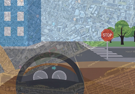
With aims of bringing more human-like reasoning to autonomous vehicles, a team led by researchers at MIT CSAIL have created a system that uses only simple maps and visual data to enable driverless cars to navigate routes in new, complex environments.
Technology as a vector for positive change | Technology for a better world
CSAIL recently established the TEDxMIT series. The TEDxMIT events will feature talks about important and impactful ideas by members of the broader MIT community.
This event is organized by Daniela Rus and John Werner, in collaboration with a team of undergraduate students led by Stephanie Fu and Rucha Keklar.
MIT CSAIL unsealed a special time capsule from 1999 after a self-taught programmer Belgium solved a puzzle devised by MIT professor and famed cryptographer Ron Rivest.
MIT’s Computer Science and Artificial Intelligence Laboratory (CSAIL) held a special workshop with Microsoft Research to explore key challenges in creating trustworthy and robust artificial intelligence (AI) systems. The effort focused on addressing concerns about the trustworthiness of AI systems, including rising concerns with the safety, fairness, and transparency of the technologies.
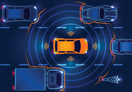
In the field of self-driving cars, algorithms for controlling lane changes are an important topic of study. But most existing lane-change algorithms have one of two drawbacks: Either they rely on detailed statistical models of the driving environment, which are difficult to assemble and too complex to analyze on the fly; or they’re so simple that they can lead to impractically conservative decisions, such as never changing lanes at all.
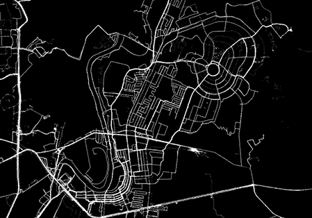
Current approaches to construct road network maps from GPS trajectories suffer from low precision, especially in dense urban areas and in regions with complex topologies such as overpasses and underpasses, parallel roads, and stacked roads. This paper proposes a two-stage method to improve precision without sacrificing recall (coverage).